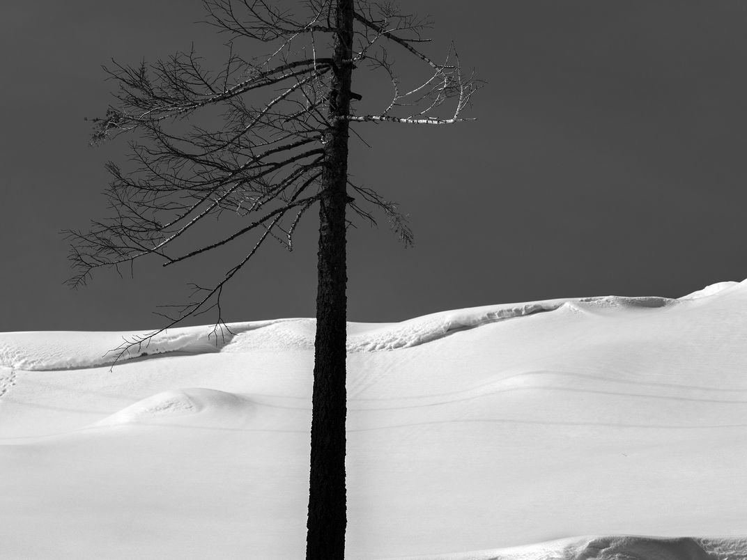
Black and white of a death and burned pine tree caused by the Caldor fire at Echo Summit, a mountain pass over the Sierra Nevada in the western United States, located in eastern El Dorado County, California. This aerial photograph is from the collection of 30 large format images photographed the winter of 2021 following the fire and shows the aftermath of the Caldor Fire that burned over 221,835 acres (89,773 hectares) of forest as far as the eyes can see. The Caldor fire also destroyed 1,003 structures and damaged 81 more, primarily in the US Highway 50 corridor and in the community of Grizzly Flats, 2/3 of which was destroyed by the fire in the State of California, Lake Tahoe- Sierra Nevada region. The Basin is home to a large number of pine and fir tree species including the Jeffrey pine, Lodgepole Pine, Sugar pine, Ponderosa pine and the Western White pine.
| Date Taken: | 12.2022 |
| Date Uploaded: | 11.2022 |
| Photo Location: | south Lake Tahoe, ca, United States of America |
| Camera: | GFX 100 |
| Copyright: | © joSon Studio |